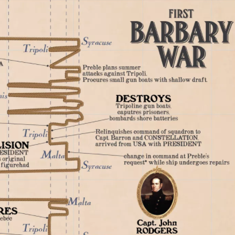
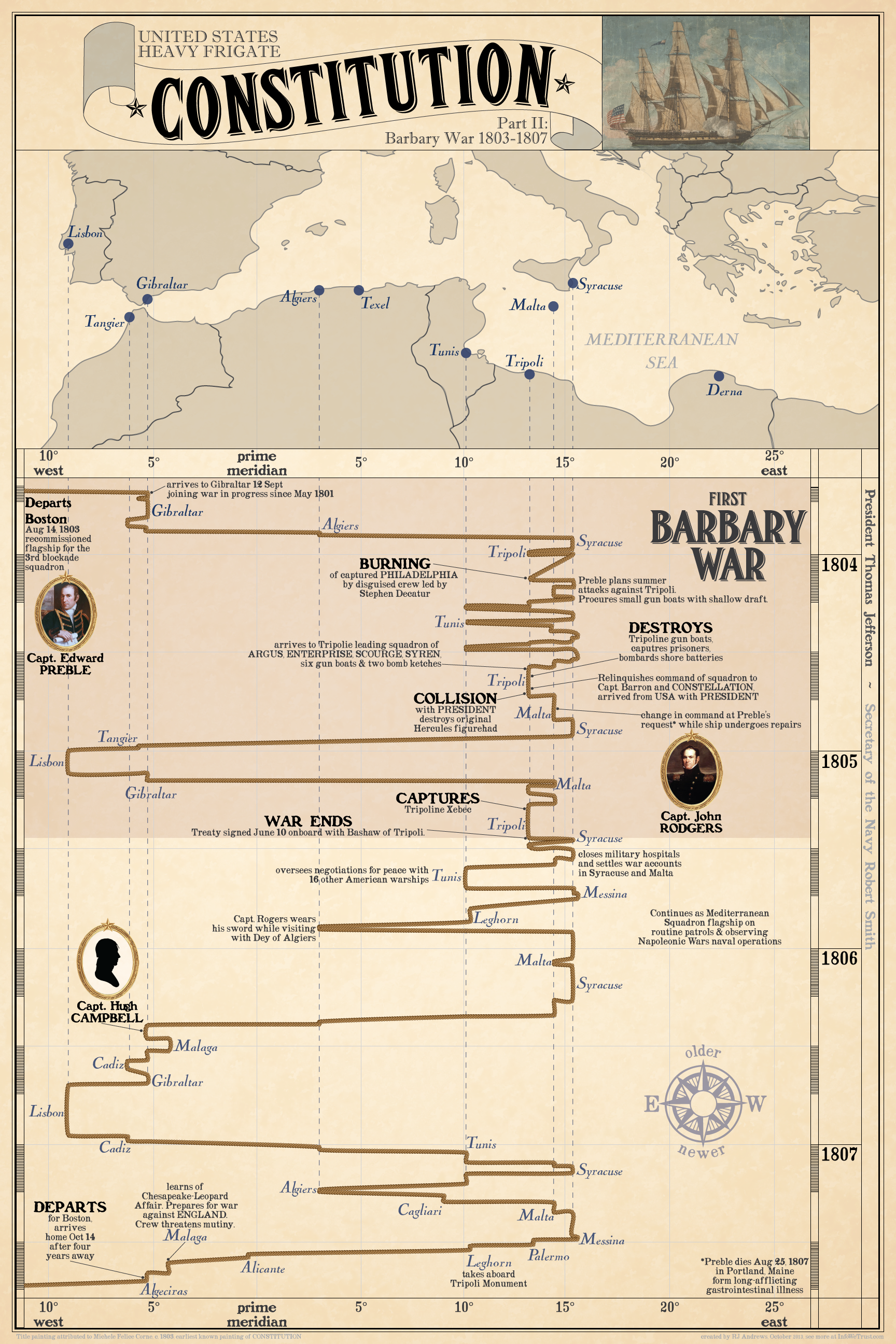
Once again, one dimension of geography (this time latitude) is abandoned in favor of providing time as an axis.
To learn more about the design of this chart and catch up on Constitution's adventures from its previous engagements please see the InfoWeTrust post on the Quasi-War. Stay tuned to join Constitution on her heroic victories in the War of 1812.
Info We Trust is a data adventure exploring how to better humanize information. To learn more read the opening post here. The creator, RJ Andrews, is an engineer and proud Northeastern University and MIT graduate. Please reach out through facebook, twitter @infowetrust, or the contact page.


[…] Design The timeline of action the ship saw is read from left to right. Trace the vertical position of each event to the map at left to see where the event occurred – one dimension of geography (this time longitude) is abandoned in favor of providing time as the horizontal axis. To learn more about the design of this chart and catch up on Constitution’s adventures from its previous engagements please see the InfoWeTrust posts on the Quasi-War and Barbary War. […]
Comments are closed.