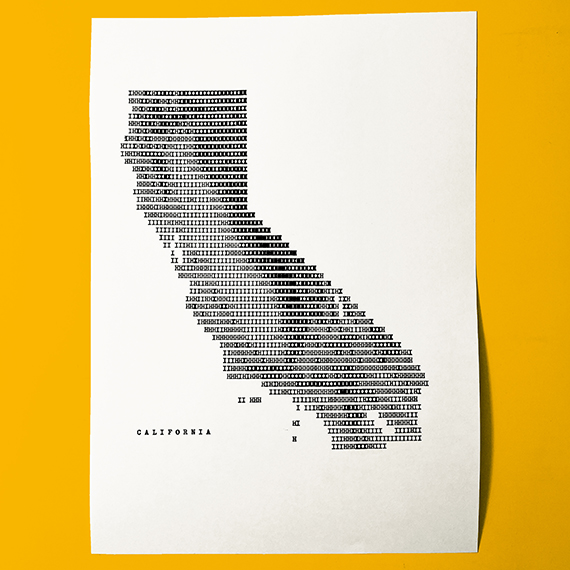
Hand typed California
Original Artwork
Elevation map featuring peaks, valleys, islands, coastline, and more.


Seven-class elevation map of California featuring famous peaks, valleys, islands, coastline, and areas below sea level.
Custom quantization bins and cell-by-cell decisions were made to preserve the spectacular land flows of the Golden State.
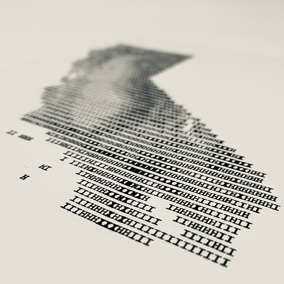
Created by layering combinations of nearly 2,500 keystrokes (I, H, X, and O) with a 1953 ROYAL Quiet De Luxe typewriter on Masa 77gsm paper from Japan. Based on a California Albers projection at approximately 1:5,000,000 scale.
This original artwork was acquired by the David Rumsey Map Collection. See California online in super high-resolution.
