Delicious Parks
Geographic 3-D model multiple
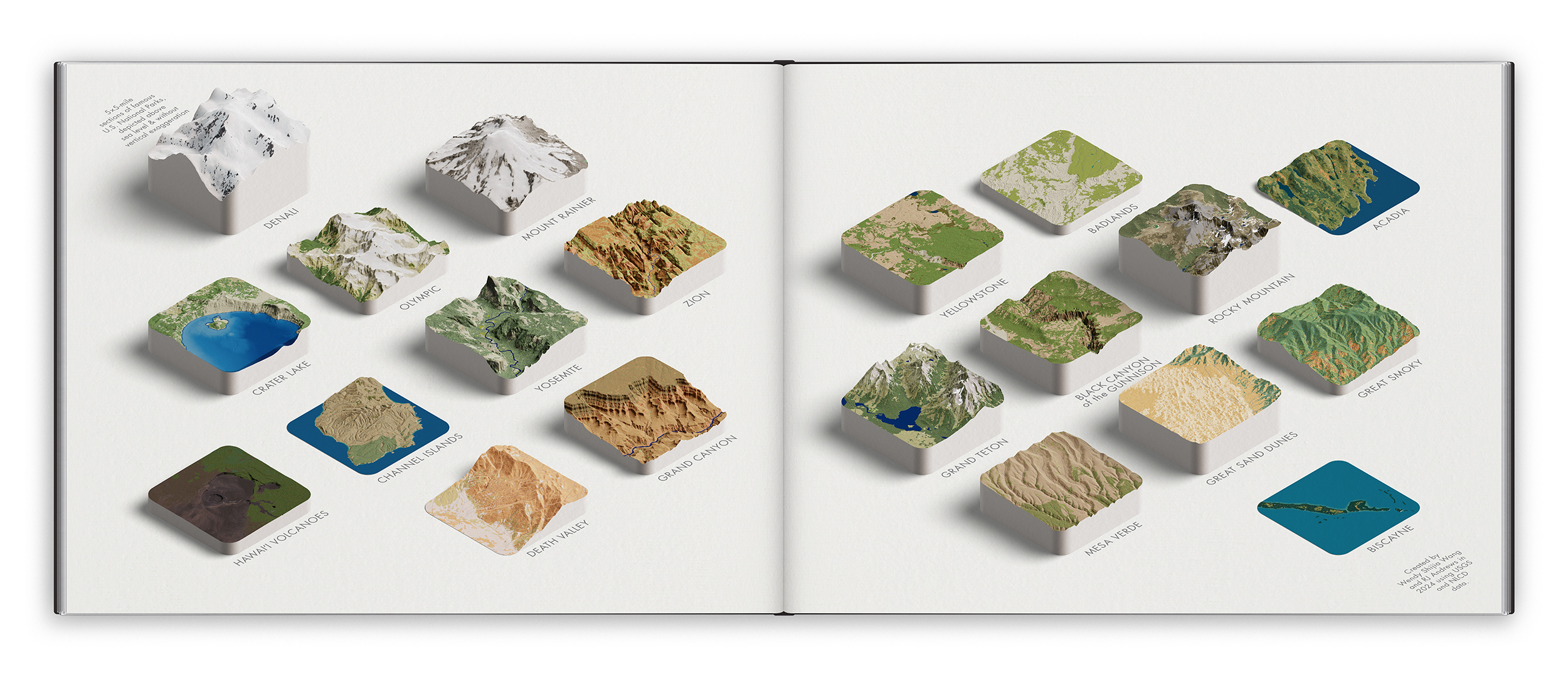
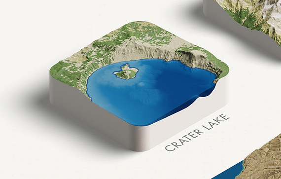
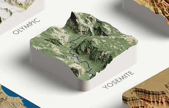
5×5-mile sections, raised above sea level without vertical exaggeration

What if each U.S. National Park had a cookie-cutter section removed and placed on a giant chessboard for easy comparison?
See twenty parks as they will be presented in the NACIS Atlas of Design, arranged geographically from the west to east coast of the United States. Each park is a 5×5-mile section, raised above sea level without vertical exaggeration.
The purpose of this composition is to enable natural comparisons between U.S. National Parks. Seeing any park in the context of the others further distinguishes what makes each one special. The Grand Canyon is somehow even more grand.
Of the many behind-the-scenes artistic and technical details, the element that took the longest to develop was the park's style. Our goal was to recreate the emotional appeal of each park—its vibe. We wanted something closer to how a mid century poster would portray the park, and less how it photographs from an airplane. Indeed, we found that aerial imagery wasn’t colorful enough (and removing its shadows was too troublesome). Instead, we relied on National Land Cover Database areas augmented with custom 3-D textures (e.g. tiny bumps for forests) and park-specific colors.
DELICIOUS PARKS is a collaboration with Wendy Shijia Wang (portfoliio). Read more about this project on Chartography.

