Maps for Kids
Poster series
Infographic posters for kids and their grown-ups to read together.

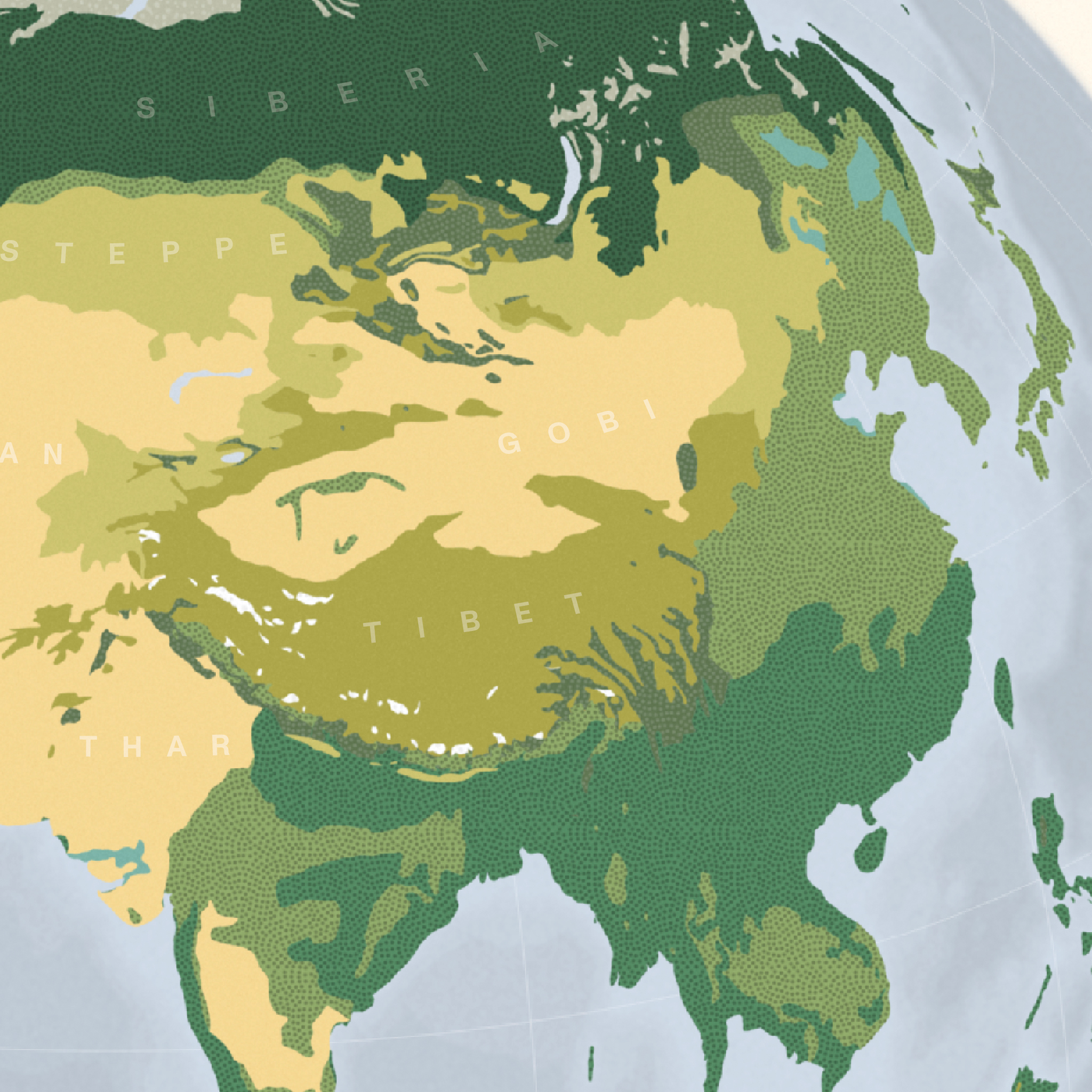
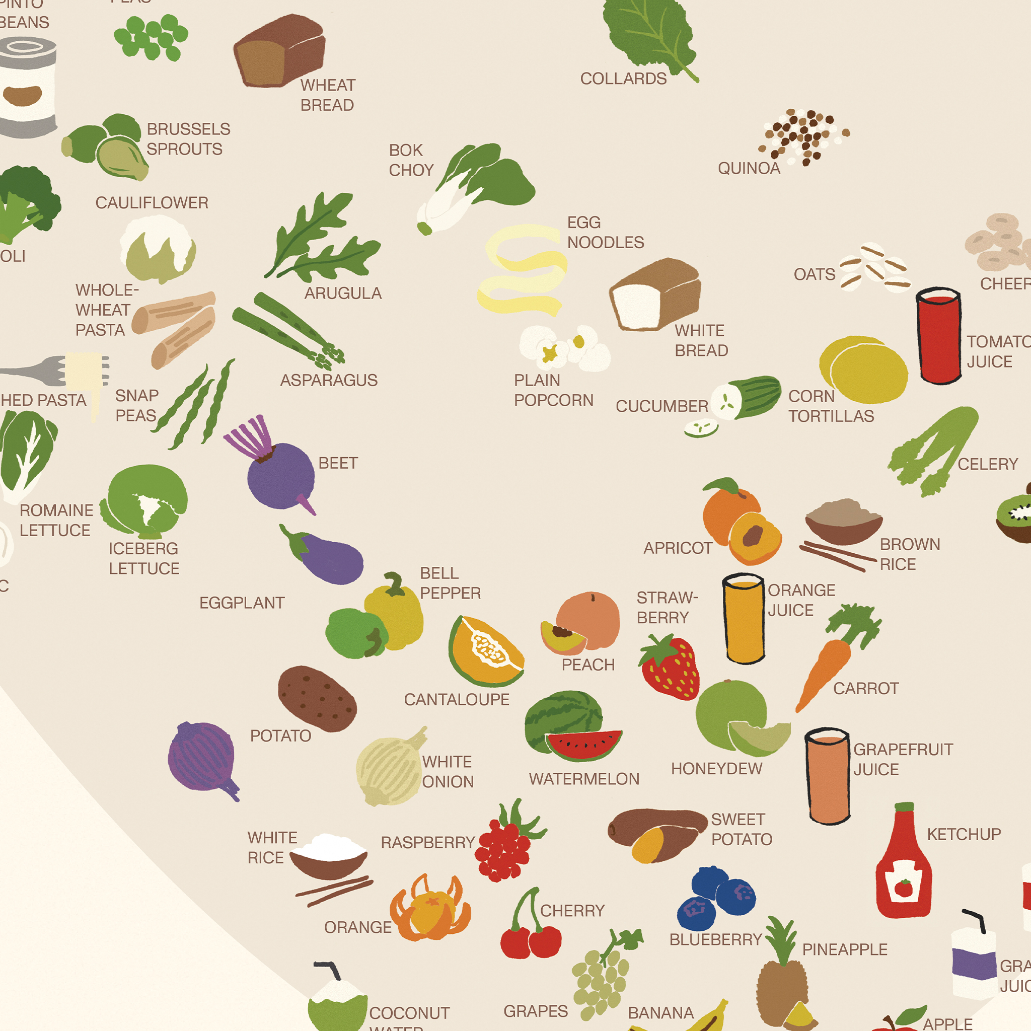
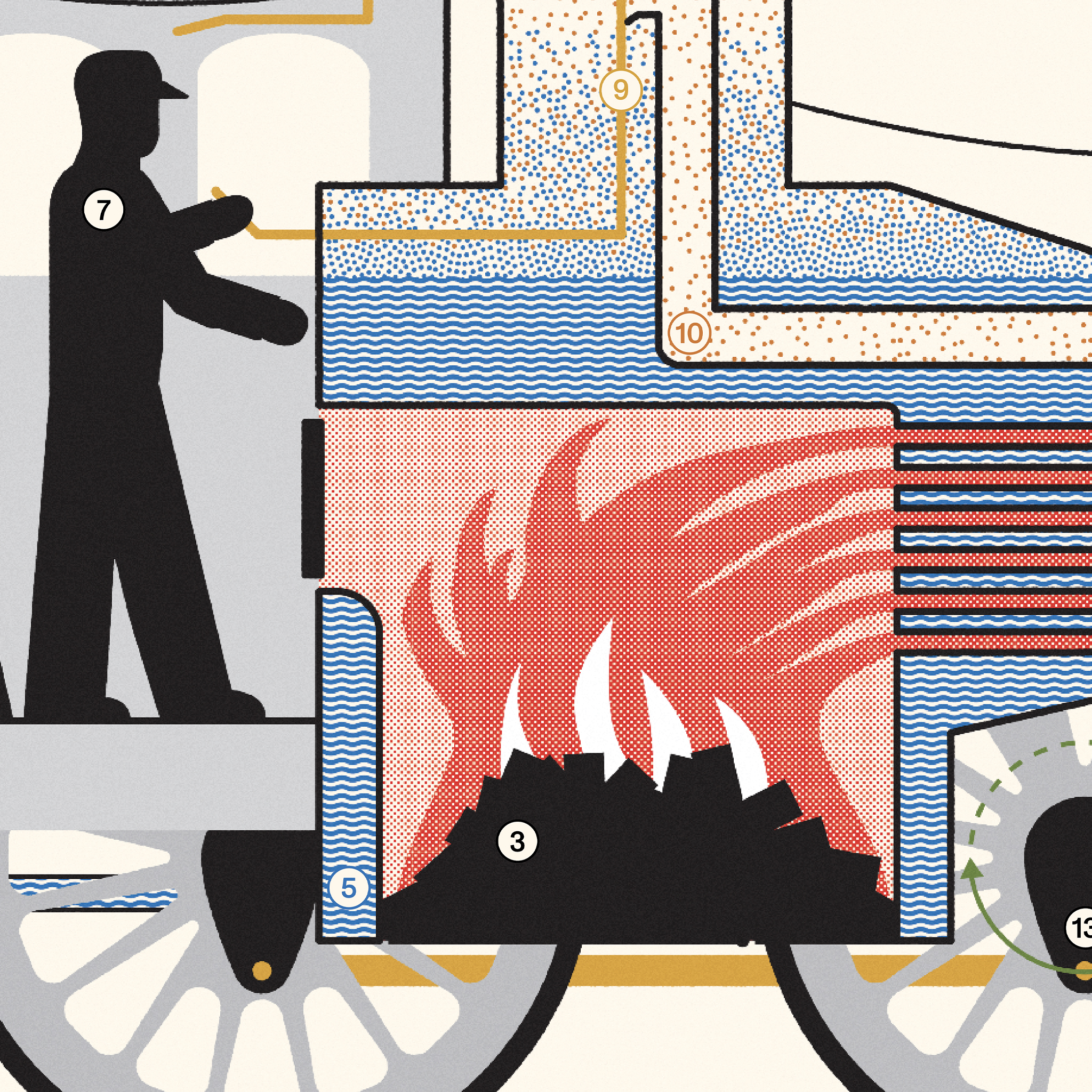
Maps for Kids starts from a simple idea: almost anything can be treated as a map. Geographic projections, statistical charts, and pictorial diagrams are all ways of flattening the world so we can see and understand better.
But the real magic happens when we enjoy those maps together. Each design is meant to be enjoyed side by side—loaded with kid-sized points of engagement and quiet cues for parents, big siblings, and teachers to help narrate what’s going on.
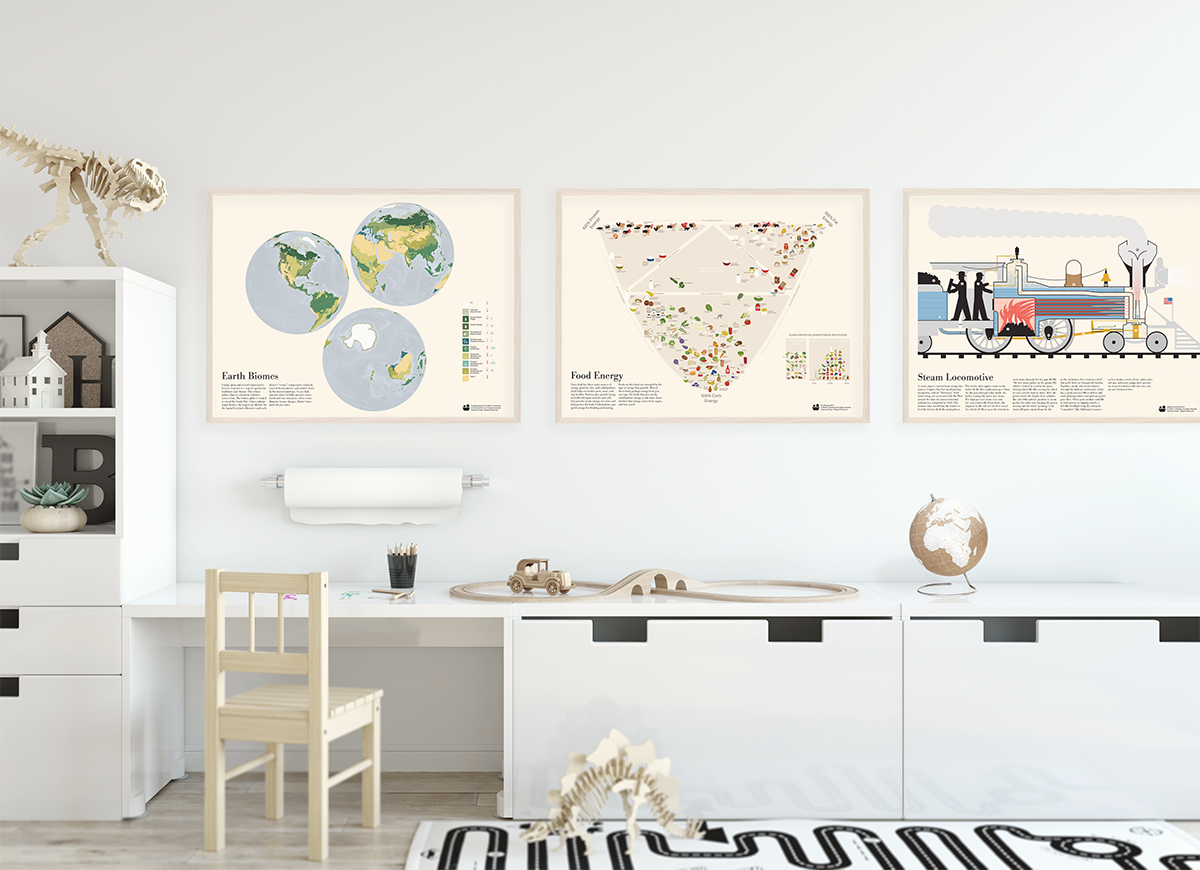
The inaugural three posters are:
EARTH BIOMES, a geographic projection
FOOD ENERGY, a statistical chart
STEAM LOCOMOTIVE, a pictorial diagram
Meet (and order) the maps at Visionary Press.

Info We Trust and Visionary Press are DBAs of Information Productions LLC, San Francisco.
Info We Trust ® is a registered service mark. © 2013–2026 RJ Andrews.